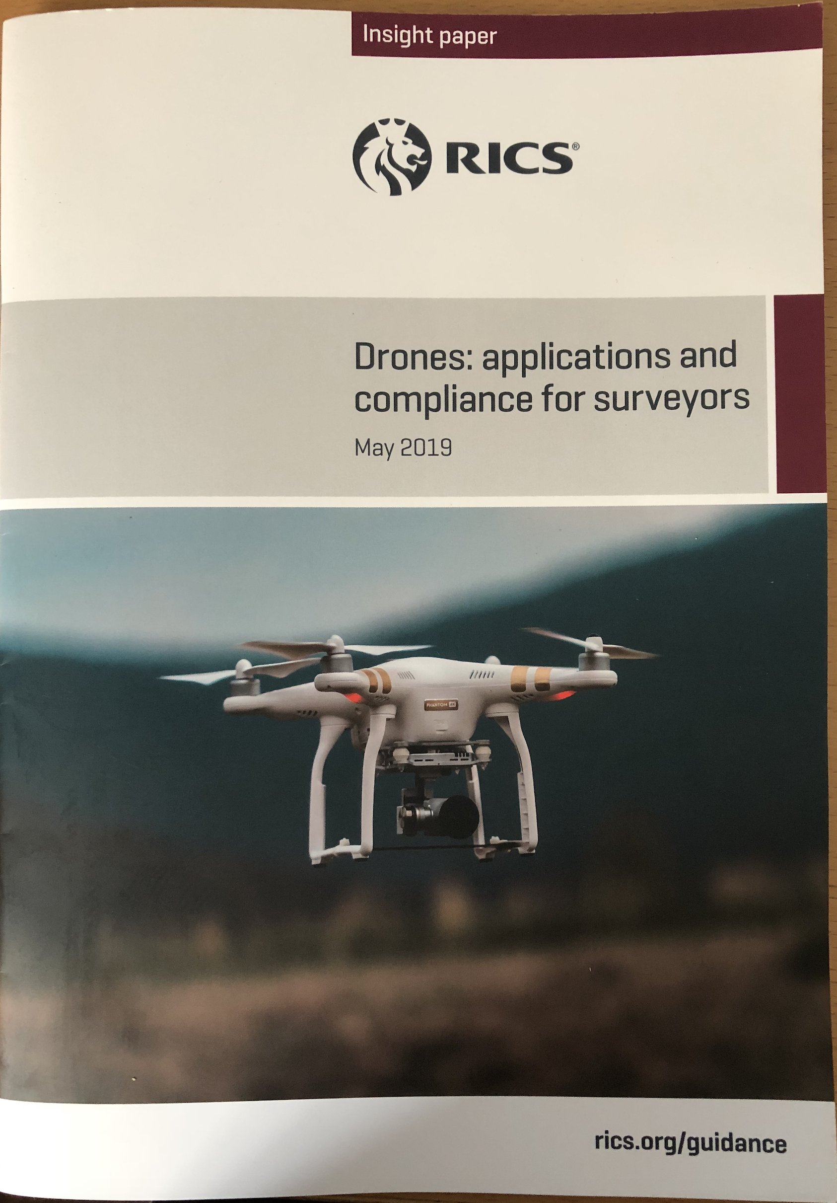
This Insight Paper does provide a useful overview of how drones are or can be used, the types of sensors and drone platforms available, the regulatory framework and finally how drones could be used in your business.
Firstly the hardware. The drone itself is of lesser importance than the payload it can carry. The range of sensors is considerable and often it will be a case of determining what the final outputs are required and therefore what sensor is needed to capture that data. This is why you have of the shelf (and very capable) drones from the likes of DJI with built in cameras through to heavy lift drones carrying high end senors including liddar. You can go from £1,500 to £100k +. When you look at the capability of this equipment as you would expect the higher end equipment does have speciliast uses. However for the majority of day to day work carried out by surveyors equipment will cost from £1500 to £5,000 and with more capability upto say £15,000.

The regulations. Flying a drone is not complex, in fact relatively easy. Flying for a film producer will be a different story and one that requires a lot of experience. The important bit though is having the competence and knowledge to deal with scenarios when things don't go to plan. The regulatory framework is focused on safety and ensuring that as an air space user drone operators fly within defined boundaries and the scope of thier CAA Licence. I would suggest that most chartered surveyors could get through the training process without too many difficulties. What has been frustraing for PfCO holders is the increasing rules and regulations some of which were introduced post "Gatwick". Quite possibly it was a case of the Government thinking we have to do something and over reacting. I doubt whether it will actually make any difference whatsoever. The hobby user isn't going to get approval from their local airfield every time they fly, they probably don't even know the rules exist. If you are thinking about getting a drone don't be put off by either the licencing process or flying close or sometimes within restricted areas. The process for approvals generally works well. Only last week to get approval from East Midlands Airport to fly a site under 2km away took under an hour to sort out.
The Insight Paper does lack clarity on the General Aviation Rules (5.1) and has made some omissions. I personally would have specifically referred to CAP1763 which in part came into force on March 13th 2019 introducing some specific changes to protect airfields. Key things to take into account;


Section 4 covers the Potential Use of Drones and whilst introducing some exciting and emerging possibilites including delivering medical supplies, traffic incident response, environmental monitoring using hyperspectural sensors, humanitarian aid and the monitoring of volcanoes it completely misses the opportunity to discuss how drones are being used today by the property sector. I would as far to say that these uses (as at today) are less than 5% of drone use by current PfCO holders.
I know of many other and very capable companies (and some who are Chartered Surveyors) who are proving a wide range of data outputs which ultimately are providing valuable information for clients. My Company in the last 12 months has carried out the following types of drone work;
All have their uses in the property sector and a range of outputs are provided. Like myself most Chartered Surveyors are qualified in one or two faculites so your experience may not be relevant. However take for example roof inspections. I know enough about buildings to understand what a Building Surveyor needs and I have worked with them to agree the methodology. I supply the imagery for their interpretation. Likewise topographical surveys derived from photogrammetry are an excellent tool. Good accuracies can be achieved and whilst you wouldn't use the data for setting out it is perfectly adequate for say site planning or volumetric works. Accuracies of 30mm in X/Y and 45mm in Z are often acheived which is "fit for purpose". It should be noted that there are some topographical surveying practices achieving sub centimeter accuracy from photogrammetry.
So to conclude whilst a missed oppotunity to promote the potential of drone use in the property sector is it a useful document to "set the scene". Drone derived data in property is still in its infancy and whilst there are some progressive companies out there from what I have seen the main stream surveying profession has been slow to grasp this exciting new technology and for their clients to benefit from it. Hopefully the profession will embrace and benefit from drone derived data and if you have a project in mind contact me. If you decide not to ring me please still use a CAA approved operator and finally yes you do need a PfCO licence to take pictures of a house you are selling (a few have asked).