A key part of managing Langford Lowfields is providing the best possible habitat to attract specific species to the site and in particular the bittern. Bitterns like to nest in reeds so much of the restored site is planted with reed and with an ongoing management programme to plant and extend the reed coverage. Decisions on where to plant and to monitor progress have mainly been based on the Warden's knowledge of the site. The difficulty comes in longer term management and monitoring the success of the reed planting programme. If it was any other form of quarry restoration on dry land it is somewhat easier to capture data and survey the site by traditional methods.
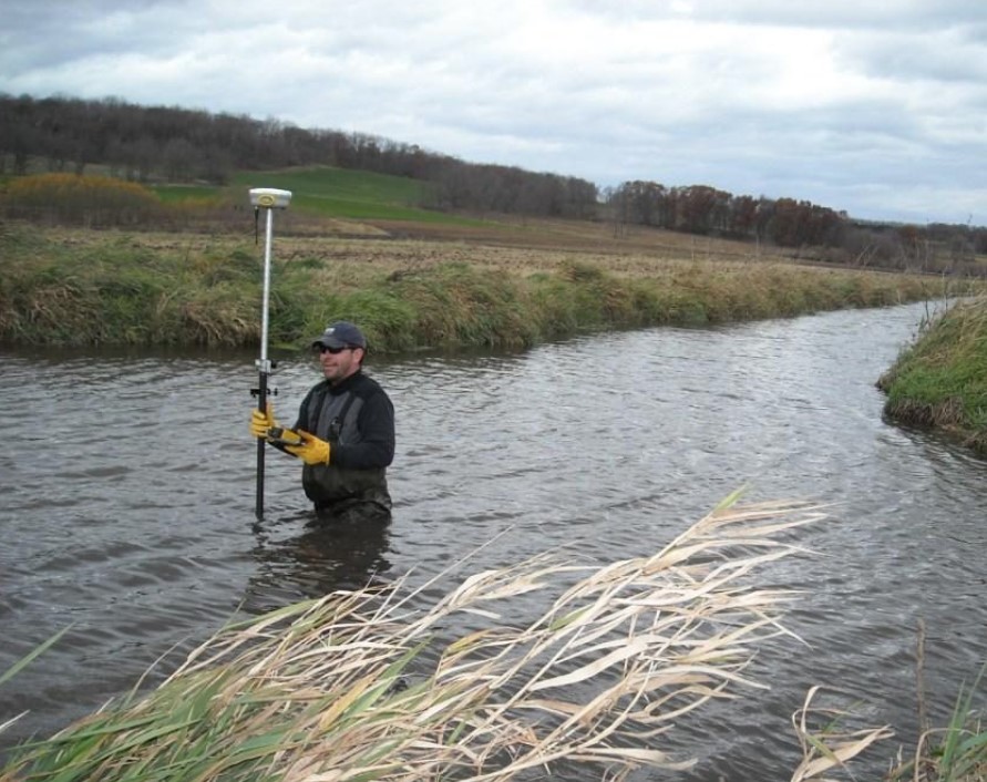
Not so easy when the majority of your site is either water of low lying reed beds. These are the type of sites that are very challenging to survey by traditional methods. Surveying a water based nature reserve not only has inherent health and safety risks it is also a very time consuming process and with that increases in disturbance of the wildlife.
Having walked around Langford Lowfields and understanding the management issues I offered to capture both aerial imagery and to undertake a photogrammetry survey. The hope would be that the resulting deliverables would be of use to the local wardens as well as being used by the RSPB's GIS Department.
In addition the aerial stills and video would provide good background information as well as being used generally by the RSPB.
Like most commercial drone operators I have a cupboard full of them all suited to a variety of jobs. In 2022 I purchased an AgEagle eBee X from Korec, the UK distributor. I had upto that point used DJI quadcopter drones with the Phantom 4 Pro being used for photogrammetry work. At that time I was taking on larger projects (some upto 1,000 acres/400ha) the need for more efficiency was paramount. I had considered a number of options including other fixed wing drones as well as the DJI Matrice 300.
Over a period of a few months I explored options and all they all had positive points. Without doubt any of the alternatives would have produced equally as good it not better results but other considerations needed to be taken into account. All the other drones I considered did have better cameras/sensors with higher resolutions. With that comes additional weight and to a degree, complexity. One aspect I have always considered carefully are the safety aspects and in particular the mass of drones. I acknowledge that all the alternative drones have an excellent safety record but the eBee has both an excellent safety record (including a C rating in various jurisditions) and a very low mass.
At only 1.6kg I believe the safety issues are much reduced. Further positive points were the ease of operation, the eMotion operating software and the support from Korec. Various sensors were available and I decided to get the SODA 3D sensor as it ideally suited to the type of work I undertake.
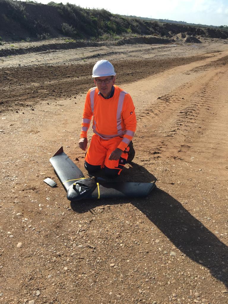
Turning to the actual survey we decided it best to carry it out in July/August so as to minimise any disturbance during the nesting season. From flight planning work I had ascertained that I could cover the survey area in 4 flights and designed those fligts around finding the best places to operate from. With significant areas of water it was slightly more challenging that I originally thought. I also, ideally, wanted an overcast day with low winds. I was concerned that any amount of wind would cause the reeds to move and sway and like, for example, cereal crops or water, these area are hard to "map". The reason is that the photogrammetry software prefers sharp focused images which are easier to stitch together than any form of vegetation that can be moving.
I had planned the flights at 90m above the take off points with a 70% front and 60% sideways overlay and with the SODA 3D camera rotating 10 degrees either side of nadir. All flights were between 25 and 30 minutes. As things turned out the forcast was slightly off with broken skies and a breeze of 5/8 knots.The flights were all conducted without any issues with 2138 images collected.
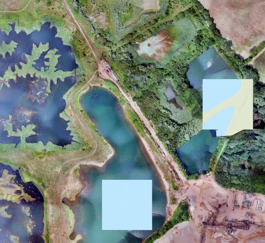
On processing the data in PiX4D I found that there were 4 areas of the survey where the stitching had failed. See the image left below. This was either due to the expanse of water or woodland areas. Interestingly there weren't any issues with the reeds. When capturing imagery over water it is important that all the images have some shore line so that they can be stitched. I discovered a few images were just "water". I did also reprocess in ESRI's Drone2Map and had the same outcome.
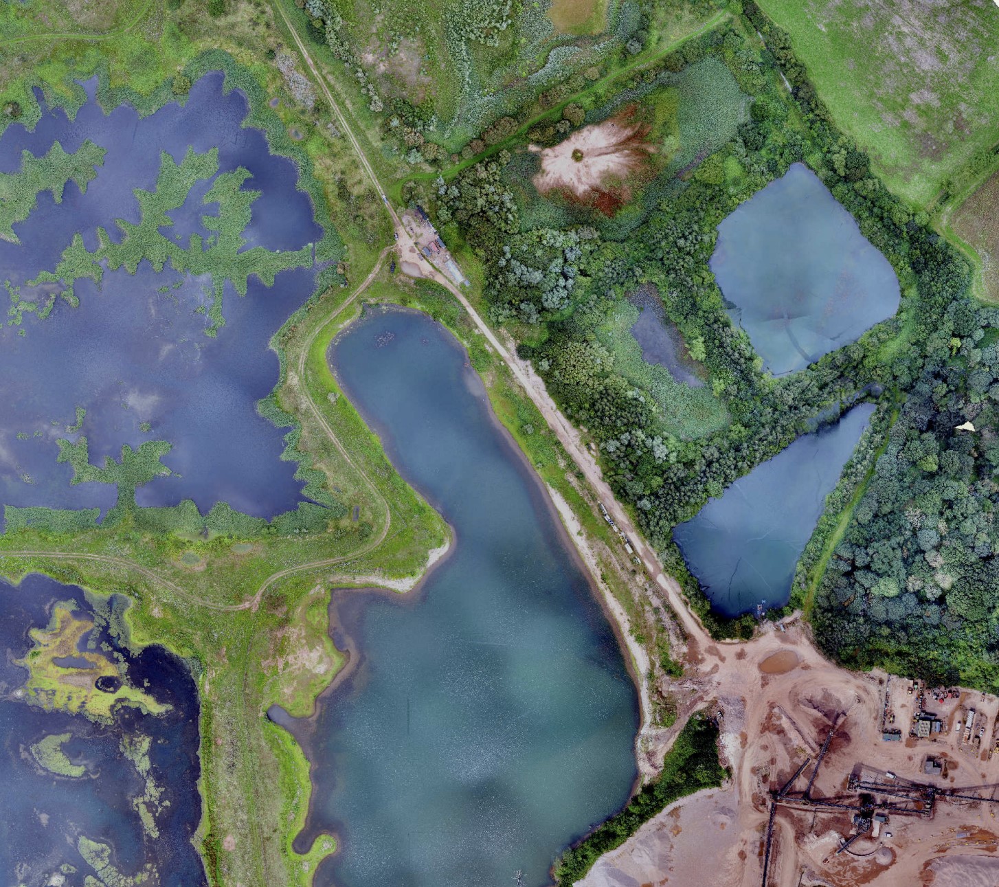
We decided to fly the site again. Prior to doing the flights I sought advice from Korec and Jim Ixer at Drone Pilot Academy and the conclusion was higher and increased overlap. This time the weather was slightly better as mainly overcast and I adjusted the flight parameters to a flight at 116m above take off points with 80% front and 75% side overlap. This resulted in 2560 images. The processing was more successful as shown right below.
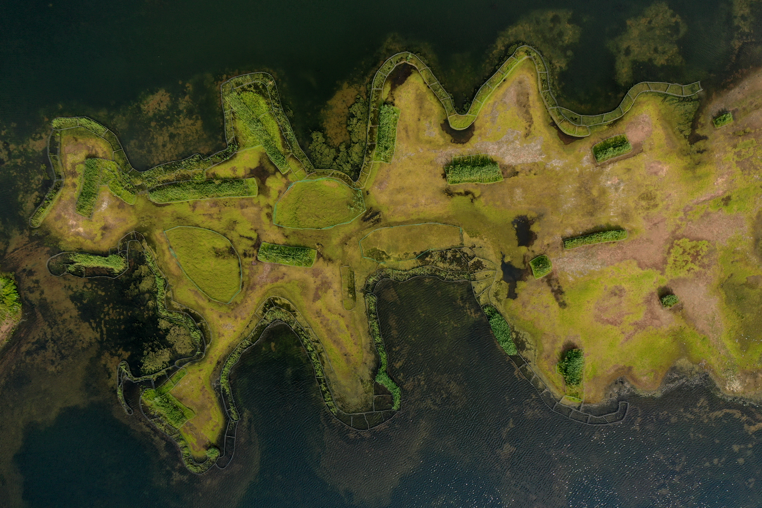
The primary output for the project was an orthomosaic which landed up being 6.4Gb and sufficently detailed. The quality of the image has allowed the details of the reed planting to be seen as well as the lines of weld mesh installed. You might be a bit of a surprise to find weld mesh in a nature reserve. It is insatlled vertically around newly planted reed beds to prevent geese feeding on it.
I should also explain that as the main output was an orthomosaic and whilst the eBee is RTK enabled I didn't employ any additional ground control points. Whilst they refine the accuracy it wasn't necessary in this particular case.
For the capture of aerial stills and videos I flew at various heights and used a Mavic 2 Pro.
I have shown blow a typical vertical image cut from the orthomosaic. I have posted this image elsewhere with a few people asking if it taken in the Far East!!
I would like to take the opportunity to thank Joe Harris and David Terry from the RSPB for helping undertake the drone survey and I am looking forward to seeing how the data is being used and of course to reflying the site to monitor progress. In addition the ongoing support and technical advice from Korec and Jim Ixer is always welcomed.
The conclusions I can draw from this project is that drones offer the ideal solution to survey a site that otherwise would be neigh on impossible to survey by traditional means. The process removes health and safety risks and the actual drone survey and subsequent processing was all completed within three days.