The task was related to a proposed planning application.The ecologist I am working with is acting for a client to look at the potential of extending their business onto adjoining land. That land is a low lying coastal location in the North West and has the potential to host water voles and other small mammals.
The site extended to circa 4.3ha and is a combination of rough grass, reedbeds, marshy ground and some ponds. The "vegetation" was quite dense and the reeds are upto 1/1.5m high. Access on foot to cover the whole site is challenging and would take a lot of time. As a result of this drones were seen as a potential alternative solution.
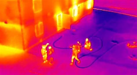
Thermography has been used on drones for some time. We have become familiar with drone images on many TV programmes and documentaries. There is widespread use across the UK by police forces uses drones to help find missing people or to find criminals and in addition other emergency services and Mountain Rescue are using thermal cameras extensively. Finding a human being or animal though does have advantages in that the subject matter is quite large. Two examples are shown below.
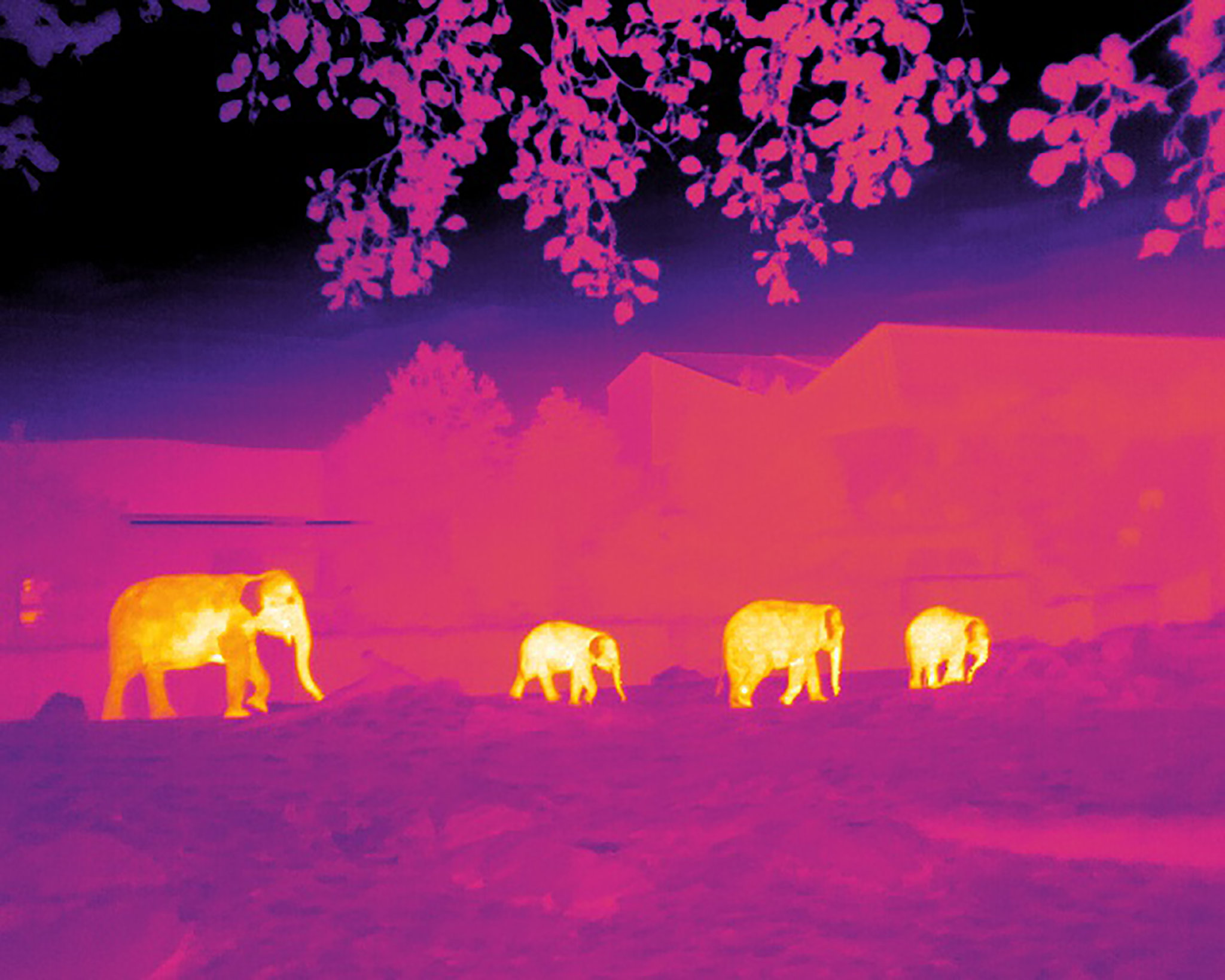
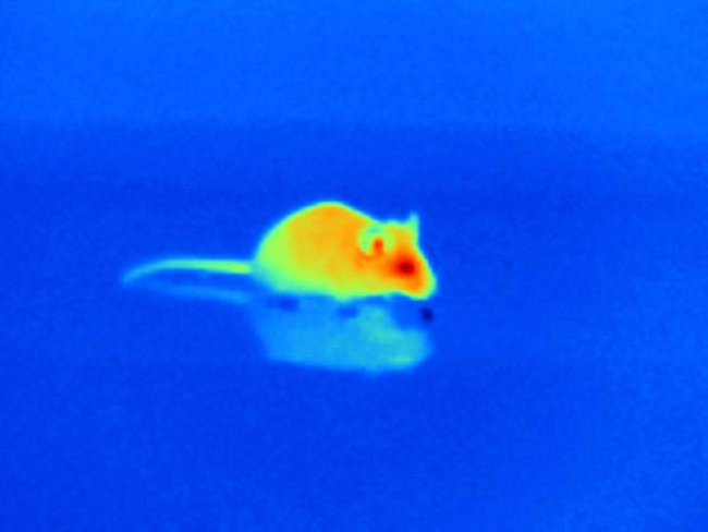
It does become a greater challenge when the animal you want to find is considerable smaller. I was focusing on water voles upto small rabbits. In addition you need to think about the heat signature. A human being will usually have suitable clothing on but will normally have exposed face and possibly hands. This makes it relatively easy to identify a person even from 100+ metres away. Likewise with a rather large elephant.
Small mammals have two things going for them, size and insulation. Most will have a dense coat to help them maintain body heat and this reduces their thermal footprint. When you then add dense vegetation they can be difficult to find.
With regard to the data collection I was asked to use a small drone and one which is relatively quiet. I had two options a DJI M30 or a Mavic 3 Thermal, I choose the later. I was able to visit the site on an early morning in October following a partly cloudy night, the local forecast was 3/8 to 4/8 cover. Temperatures in the morning were 4/5c with a slight breeze (<4mph). I was on site for 07.30 to get set up and flew the first mission at about 08.30. I set up a survey collect at 40m with 80 front and 80 side overlap and I set the speed for 15mph. I also flew a second survey after that at 60m. Once those jobs were complete I then flew the drone to 6 locations and took stills and video at 30m, 20m, 15m, 10 and 5m.
The processed data sets for the two surveys produced a thermographic image of the site but they did lack clarity. This would be down to the smaller sensor, flight speed and ambient light on the day. I think to get sharp imagery I would need the drone to stop at each image capture point but that means you land up with a flight with multiple battery changes. For the video I set the drone to fly in Cine mode to really reduce the speed. It was on the videos that we identifed two distinct heat sources.
We do plan to repeat the exercise although possibly on another site. One aspect we would do is find a similar heat source to what we are looking for (eg water vole) and see what thermal footprint that displays. I would need to plan the route to fly slower to enhance image quality.