It is said the "Every picture tells a thousand words" and if this is true then video covers the full story. This blog focuses on the overall planning process and how video and other media formats can be used to engage those involved.
Much of my work revolves around the development of sites from greenfield through to build out. Throughout this process there is usually a team of professional advisors as well as of course your client/land owner. During the early stages of the planning process there is the usual debate of the form, nature and extent of the proposed development.

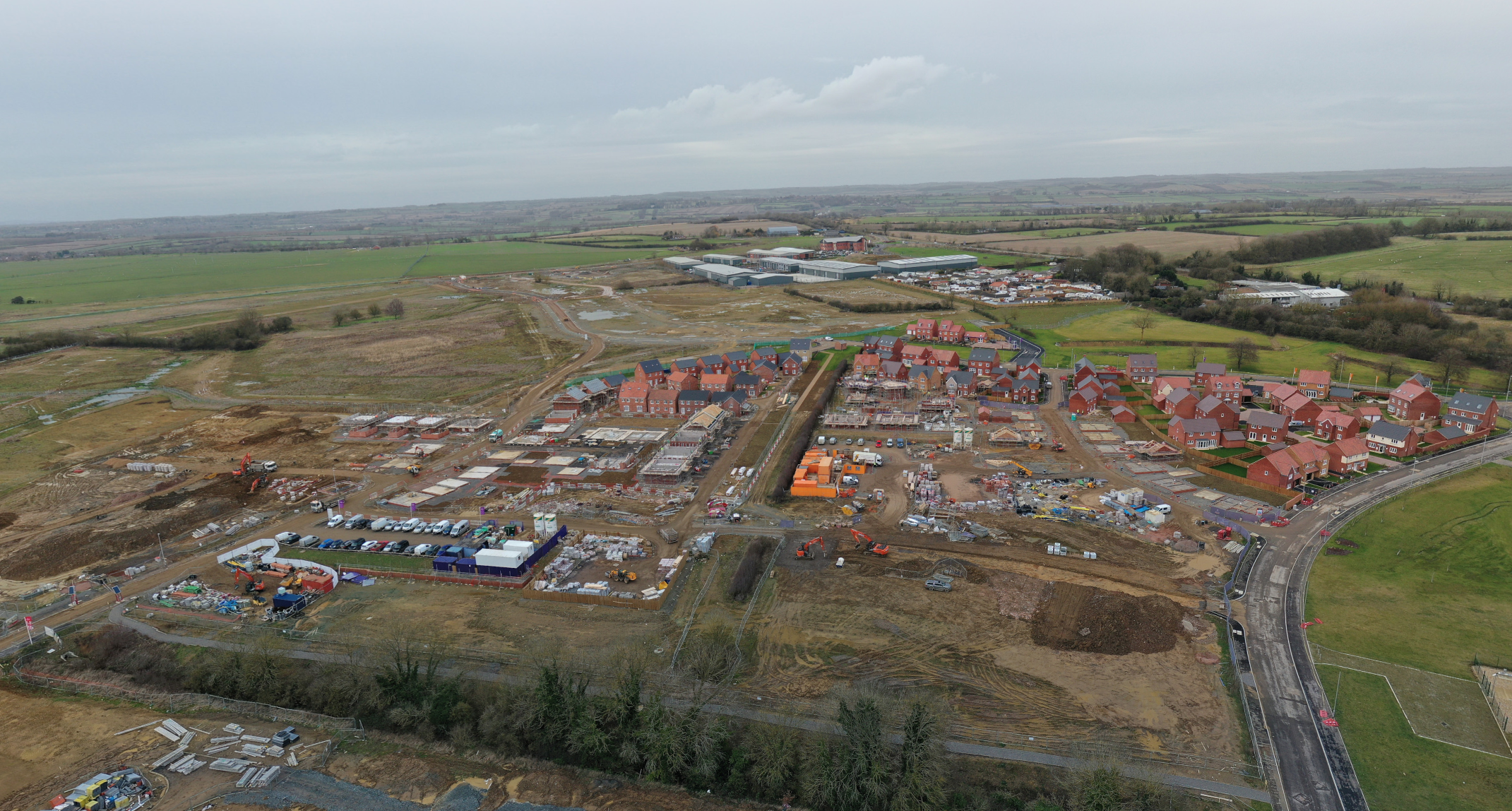
In some cases this is straightforward. For example an extenstion to an exisiting factory or a single new build house is going to be fairly easy to plan. What though of the larger multi house schemes where you may have to plan 200/400 or even '000's of houses, a large multi unit commercial scheme or a quarry extension. All of these examples are more challenging and there will inevitably be a number of "constraints" which dictate how the development can be laid out. To achieve this there will be a site visit(s), often difficult to organise with attendees travelling from multiple locations. Video can be used to excellent affect here as you are able to capture the relevant details of the site which can be used for subsequent meetings. I have one client where I capture drone derived video of all their new sites as and when options are secured or when they are about the acquire the property. The video is used both to inform the senior management team but also used by the planning team as they develop the plans for the site. On occassion I am asked to revisit sites and capture additional footage (usually more detailed) of various parts of the site. This is much more effective and cost efficient than sending the full project team to site. At this stage I also can provide orthomosaics and DEM's which I have discussed previously.
As the planning application prgresses engagement with the planning authority will ramp up as will the need to present proposal to local communities. This is mainly undertaken for the larger schemes, infrastructure projects and in particular within the quarrying sector. I have attained many events where local residents are invited to see the proposed plans for the first time. As one of the team presenting the scheme these events are rarely easy as generally residents are going to see change. They are howver a key part of the process and you can't beat face to face time with those concerned.
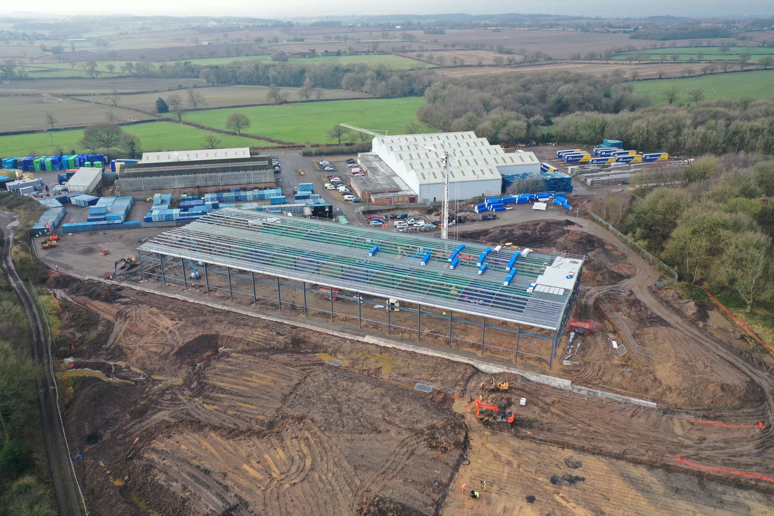
One scheme I have recently been involved in is a new factory for Litecast at Nuneaton, shown right.

For this scheme our approach for engaging with stakeholders was threefold. Firstly we presented the scheme to the Parish Council and local residents. This was the traditional presentation with hard copy plans which we presented and thereafter answered any quaries and issues arising. Some of these were addressed in the final planning submission.
Our second approach was to privide more detailed online content. We chose not to set up a dedicated web sute for this but used a medium called ESRI Story Maps. In short this allows you to create a 'story" using a wide variety of media sources. A story map can take many forms and we chose this format for its simplicaity and ease of navigation.
View the Story Map here.
The third approach was a video. This in part covered the same content as the Story Map but was also aimed at the Planning Committee. At the time of submitting this application we wanted to be able to summarize the proposed development and convey key aspects of the scheme. This was done to inform them of the benefits we believed the scheme had and provided an opportuinty to retain the buiness within their District and with it 80 jobs. The final video was sent to the Planning Committee via the Case Officer when the application was submitted. We received some good feedback. The best was we received a delegated powers decision for this major development.
Contact me to find out more.