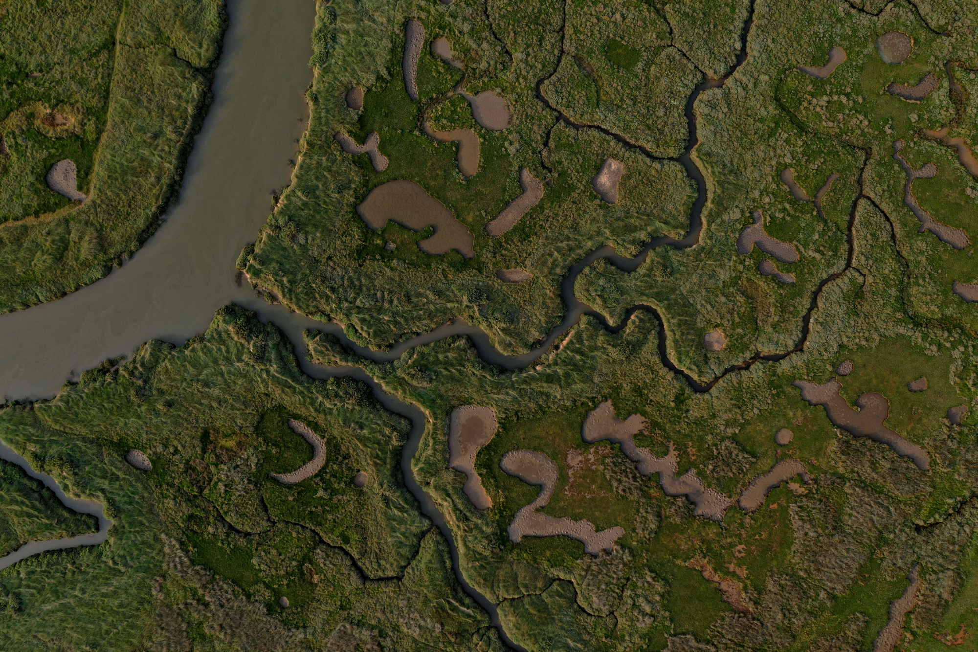
I am pleased to have been commissioned to undertake a photogrammetry survey for a nature reserve by a nationally recognised conservation body. The primary use of the survey will be to map the extent of various types of flora & fauna and thereafter undertake repeat surveys to track progress. A programme of planting has been underway for some time to extend various habitats.
Nature reserves are difficult to survey by conventional means. The topography, water areas (in particular) and ground cover are all limiting factors. In light of this the site is been "managed" by using satellite derived data which lacks the definition required.
The site will be surveyed using an AgEagle Sensefly eBee X and I expect it will take 3 or 4 flights to cover the area. Being RTK enabled all outputs will be to British National Grid. A further advantage is that the eBee is quiet. Flying at c90m above the take off point it will not disturb the wildlife. In addition I will be able to fly the eBee from the margins of the site again minimising any disturbance as well as removing any H&S risks of working near water.
With the increased importance of Biodiversity Net Gain, Land Transformation and Natural Capital drone derived data can provide valuable information for all the stakeholders involved.