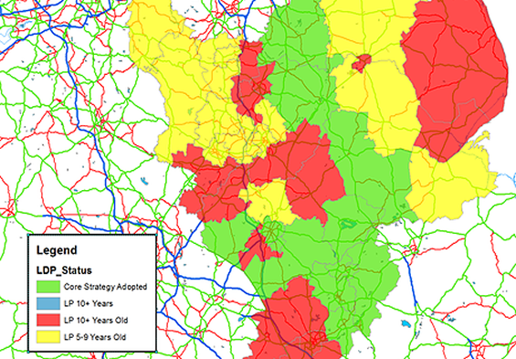
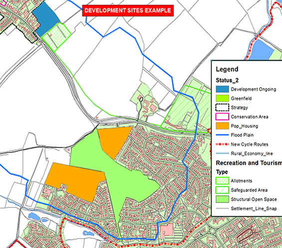
Identifying and securing potential development sites is a lengthy process. Information available via the internet has helped considerably over the past few years, not least Google Maps. However there are many occassions where you will need to gather together location and spatial data from a number of sources to help identifying suitable sites.
There is no one single portal that brings this information together. For one client EiS Mapping pulled together key information from various Core Strategies (and SHLAA's) and added to this various additional data sets which potentially impacted the area of search. These included for example SSSI's, SPA's, Listed Buildings, Rights of Way etc etc. To compliment this local services were mapped to understand how a development could fit in with an existing conurbation.
Over and above identifying sites property prices were also anaylsed to give an indication of the sales value various potential developments.
All of the above information can then be aligned with the developers local knowldeg of the area and information added on sites already considered or those already secured by other developers. This was also complimented by adding planning data to show sites were applications had been submitted.

The collation of this information gave the developer a comprehensive overview of the target area and an uderstanding of all the constriants and potential values allowing the focus to be directed to key sites.
